
Scranton Neighbors Block Records
A records-based neighbor question concerns adjoining or nearby parcels, not household membership. Start from an address that is already known, identify its parcel or PIN, then read each nearby parcel as its own record. The assessment and tax systems identify parcel, situs, owner, and mailing relationships. The Recorder places people or entities in a recorded document. A city permit may show a construction or regulatory event. Historic directories add a printed association for a past year. None of those sources can reliably establish every person who occupies a structure.
| Source | What It Shows About a Block | Access |
|---|---|---|
| County GIS parcel layer | Parcel geometry, PIN annotations, and immediate visual surroundings | Public GIS services; exact consumer-viewer controls were not verified. |
| Assessment and Tax Online | Parcel/PIN, situs, assessed owner, and tax-mail relationship for each parcel | Public county routes; mailing address is not occupancy proof. |
| Recorder of Deeds | Recorded instruments and party roles for an adjacent parcel | 1878–1956 index books and 1957 to present Eagle documents, with county copy procedures. |
| City permits and code files | Address-specific construction or regulatory events | Online application or report routes; use a defined city request for historical files. |
| Historic directory or neighborhood group | A dated printed address association or a voluntary meeting contact | Library and City community routes; no City member roster is published. |
A parcel can be vacant, multifamily, part of a condominium, divided by an alley, or held by a trust, estate, organization, or remote owner. Nearby on a map does not mean that people share a household or relationship. The useful result is a set of dated, parcel-specific records that can be independently checked.
The county routes also provide a practical fallback chain. The Assessment Office can clarify assessment records, the Recorder can explain recording and copy procedures but does not perform a property search by phone, and a narrowly written Right-to-Know request belongs with the agency that holds the defined city file. When a needed document is not online, retain the parcel, address, date range, and record reference before contacting the custodian. That makes the request specific without asking an office to create a new neighbor list.
Mapping Scranton Neighbors by Parcel
Use the address as the starting point, then move from map geography to the record custodian. The County’s public GIS service directory identifies LandRecords, Parcels, ParcelsPINs, and ParcelsAnno layers. Research did not verify a particular consumer-map button for radius, buffer, selection, export, or a neighbor list. The reliable method is visual: locate the known parcel, note surrounding parcel polygons and PINs, then take each parcel identifier to the assessment, tax, and Recorder sources.
Address to parcel to nearby parcel polygons to each PIN to assessment or tax record to Recorder document. This flow keeps the block question tied to land records instead of turning a map into a people directory.
- Search the known address in the county assessment or tax route and record the parcel or PIN with the situs address.
- Use the County GIS parcel layers to view the subject parcel among surrounding parcel geometry and PIN annotations.
- Check each nearby PIN separately in assessment or tax records, keeping owner, mailing, and situs fields distinct.
- Use the Recorder only for title or instrument context, with the party role, date, and legal reference preserved.
For a full named-street record chain rather than an immediate block, use the Scranton Street Directory. That address-focused route follows the wider street history without treating neighboring parcels as one household.
Scranton Neighbors Parcel Geography
The County’s Land Records parcel-layer metadata documents fields that make a parcel search more precise. It includes ParcelPIN, OwnerName, LOCATION, Municipality, deed book and page, legal dimensions, values, and geometry. The ParcelsPINs layer separately lists ADDRESS, CITYSTATE, ZIPCODE, DATEACQUIRED, DEEDBOOKNO, DEEDPAGENO, CONSIDERATION, and HOMESTEAD. These are field definitions from county map data, not a finding about any particular person. The separate location and mailing-style fields underscore why a map result should never be described as proof of who lives at an address.
Lackawanna County’s Land Records parcel-layer metadata documents the field structure used for this local geography.
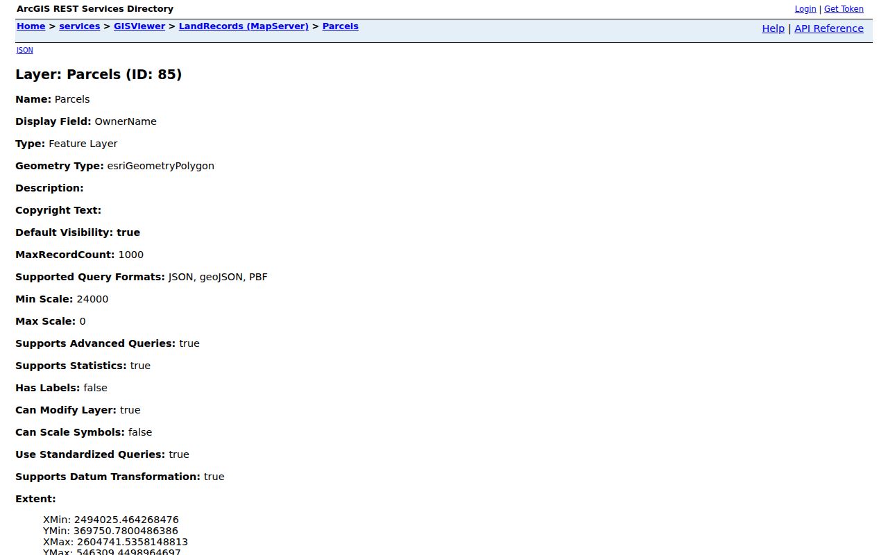
Spatial queries and pagination are documented for the service, but the research did not establish the exact controls on the public consumer viewer. Keep the screen’s map context separate from the assessment and Recorder records that supply ownership and document meaning.
Scranton Neighbors and City Events
City Code Enforcement is useful when the question is about a building event, not a resident. The City says construction projects require a permit and describes permit, zoning, historic, floodplain, inspection, and occupancy stages. A defined request by street address and date range can seek issued permits, inspection reports, certificates, or notices that are releasable. Such records may date work or describe a regulatory event. They do not establish who occupied a property, and a publicly searchable historic permit-result interface was not verified.
Scranton Code Enforcement’s official page shows the City’s permit, application, and report channels.
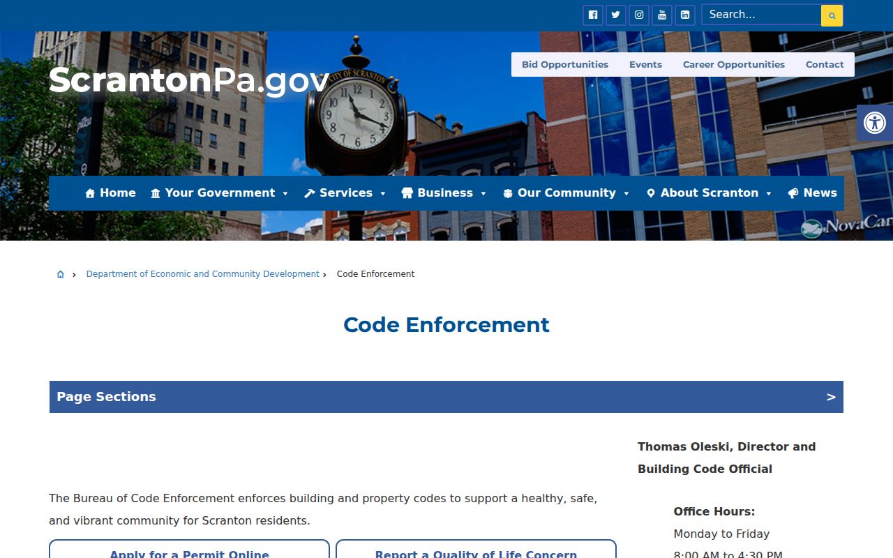
A permit record belongs beside the parcel and deed trail as a dated property event. If a records request is needed, ask for existing, identifiable files instead of a newly created list, and check the City’s Right-to-Know procedure for any response or fee question.
Scranton Neighbors in Historic Ward Maps
Historic block research needs an edition date. The digitized 1893–94 Scranton & Vicinity Business & Street Directory is an unusually rich local example because it combines street listings with a ward-coloured map, municipal departments, and community institutions. Its ward map can help place an old address in city geography, while its street material may show an address association printed for that edition. It cannot establish a continuous household, current neighbors, or a modern parcel boundary. Pair it with a deed legal description, a contemporaneous newspaper or census source, and the library’s confirmation of available reverse-directory volumes.
The Lackawanna Historical Society adds another geographic cross-check. Its map inventory identifies more than 1,300 maps, including Polk street-guide maps for 1935, 1939, and 1954. Historic maps work best beside an edition date and a deed’s legal description because they can show a street, ward, block footprint, or neighborhood setting without proving who lived there. Albright Reference and the Historical Society can help determine whether a requested directory or map volume is actually available before a past address is interpreted.
Scranton Neighbors Watch Contacts
Community contacts are a voluntary layer for meeting people and learning about a neighborhood, not a directory of residents. Scranton’s City-maintained Neighborhood Watch Groups page publishes meeting or contact details for several named groups and asks other organizations to contact City staff to be added. The page does not publish membership lists. Meeting information can change, so use the City source before attending or contacting a group. Scranton Police also says community-policing officers attend monthly meetings in the West, North, Hill, and South beats.
Scranton’s Neighborhood Watch Groups page is the source for the current published meeting and contact details.
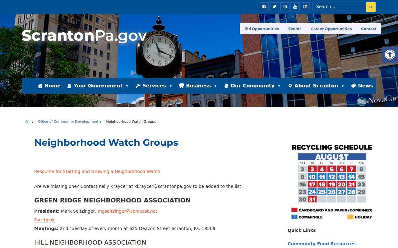
The City’s listings offer a public connection point without suggesting that a watch group has a roster available for search.
Green Ridge Neighborhood Association
Second Tuesday each month at 625 Deacon St. The City page publishes a contact, but not a member list.
Hill Neighborhood Association
Monthly on the last Wednesday at 6:30 p.m. at ICC at Taylor/Gibson. Use the City page for its listed contact.
North Scranton Neighborhood Watch
First Monday at 7 p.m. at Weston Park, with winter meetings at Holy Rosary School auditorium. The City page lists an email.
South Scranton Neighborhood Association
Third Wednesday at 6:30 p.m. at 509 Cedar Ave. The City page provides the contact route.
West Scranton Neighborhood Watch
Last Wednesday in the West Precinct or Jackson Street Skate Park area. The City links contact and social channels.
Scranton Neighbors and Voter Privacy
Pennsylvania’s individual voter-status service is not a public display of all voters on a block. Voter-file access has written-certification and permitted-use limits under 25 Pa.C.S. § 1404, and electronic signatures, SURE registration numbers, and protected address information are not part of a general public directory. County Elections is the appropriate local contact for lawful election-administration questions. An absent public result may reflect a protected address, timing, jurisdiction, a name issue, or non-registration. It does not establish that a person does not live nearby.
| Official block records | Commercial neighbor tools |
|---|---|
| Use parcel, tax, Recorder, permit, and historical sources for dated land or document facts, with a custodian to verify them. | May compile public and third-party data, but records can be stale, mismatched, incomplete, or assigned to a same-named person. |
| Each source has a defined role and access boundary. | A correction to a compilation does not correct the government record that produced an apparent error. |
Lawful Scranton Neighbors Research
Protected and private information remains outside a block search. Utility and delivery customer records, private household lists, protected voter addresses, motor-vehicle data, closed vital records, and sealed court material are not substitutes for a parcel record. Pennsylvania Safe at Home gives eligible participants a substitute mailing address for covered records, and its actual-address information is confidential. A tax mailing address can also differ from a parcel situs. These boundaries protect people while leaving a limited, lawful way to check public land records and community contacts.
Under 23 Pa.C.S. § 6703, a Safe at Home application and actual address are confidential and exempt from Right-to-Know disclosure. A missing result can reflect that protection, a restriction, an index gap, or a different jurisdiction. An apparent error belongs with the agency that created the record: assessment issues go to Assessment, a deed correction normally requires a new corrective instrument, and election or court questions go to their respective custodians. Do not repeat a suspected error as a block fact.
Lawful use. Use block records for personal, lawful research and community connection. Pennsylvania law prohibits stalking, harassment, intimidation, impersonation, and repeated unwanted contact.
Verify an unexpected property message through the Recorder or another independently found official contact, not through the phone number or link in the message. The Pennsylvania Attorney General’s property-ownership warning identifies forged-transfer and pressure tactics that warrant a careful official check.