
Compare Scranton ZIP Code Areas
Scranton’s Parks Study map identifies eight ZIP areas for City planning context: 18503, 18504, 18505, 18507, 18508, 18509, 18510, and 18512. The map is useful for understanding the local geography reflected in the study. It is not a USPS boundary file or a resident list. A precise address still needs a live postal lookup before a postal city or ZIP is assigned.
| ZIP | Areas Covered | Post Office | Notes |
|---|---|---|---|
| 18503 | Downtown and central-core planning context, including Linden Street Park and 500 Lackawanna Avenue on the City map | Verify for the exact address with USPS | Postal geography does not equal the municipal boundary. |
| 18504 | West Scranton and West Side context; the map names Tripp, Powderly, Allen, Jackson Terrace, Fellows, Novembrino, and Clover Field | Verify for the exact address with USPS | One of the City report’s two most populous mapped areas. |
| 18505 | South Side Flats, South Side, East Mountain, and Oakmont, from the river toward Montage Mountain and Lake Scranton | Verify for the exact address with USPS | The report gives the clearest local coverage description for this area. |
| 18507 | South and west planning-map context | Verify for the exact address with USPS | Confirm before treating a postal label as a City address. |
| 18508 | North Scranton context, including Weston Park, McLain Park, and Weston Field on the map | Verify for the exact address with USPS | A postal label can extend beyond a cultural neighborhood. |
| 18509 | Green Ridge and Hill-area context; the map lists Grace Street, Crowley, Woodland/Sunset Islands, Sturgis, Chic Feldman, and Capouse pool | Verify for the exact address with USPS | Use the address-specific postal result as the control. |
| 18510 | Hill and Nay Aug side context, including Nay Aug Park and Richter Avenue Park on the map | Verify for the exact address with USPS | The same ZIP does not establish a neighborhood or a residence. |
| 18512 | Eastern and southeastern edge area in the City planning map | Verify for the exact address with USPS | Address verification is especially important where postal and City geographies may differ. |
The City report does not identify 18501, 18502, 18519, or other postal labels as one of these eight mapped planning areas. Use the USPS city-and-state mode for any additional label returned for Scranton, then verify its exact status before describing it as a delivery, PO Box, unique, or City-resident ZIP.
Keep Scranton ZIP Code Boundaries Distinct
The official USPS ZIP Code Lookup has three different jobs: ZIP Code by Address, ZIPs associated with a City and State, and Cities served by a ZIP. Its own warning is central here: a result does not confirm that a person or organization is at an address. Postal routing is valuable for mail and address matching, but it is not a City-limit decision, parcel record, or proof of a household.
Scranton planning neighborhoods are historical and cultural labels. Downtown, Hill Section, South Scranton, Minooka, West Scranton, North Scranton, The Plot, Green Ridge, Pine Brook, and East Mountain are useful local descriptions, yet none replaces the boundary maintained by a specific custodian. A ZIP label, census tract, parcel municipality, and City neighborhood can all describe the same place differently.
Find Scranton Records by ZIP Code
A ZIP can narrow the route to a property record, but no verified public source produces a citywide list of residents for one ZIP. The reliable sequence starts with the exact address, validates the postal route, and then shifts to the property keys that the County actually exposes. County Tax Online has a ZIP field in its owner-information search area. The Assessment Database does not show a verified ZIP filter, and the public voter service is an individual-status tool rather than a ZIP roster.
- Use the USPS ZIP Code Lookup with the full street address and City or ZIP. Save the returned routing information as a postal check, not a resident result.
- When a City-wide postal label needs review, use USPS’s City and State mode. Do not classify an extra result as PO Box-only, unique, or Citywide unless the live USPS result supports that description.
- Enter the location through County Tax Online or the Assessment Database. Tax Online asks for a house number and street for Location Address, while Assessment Basic Search accepts Street and the SCRANTON CITY municipality choice.
- Use the parcel number or PIN from the property result to compare the physical situs with tax correspondence. A mailing ZIP is a correspondence clue only.
- Move to the Recorder with the parcel, legal description, or named party if a title question remains. The County’s 1957-current Eagle route and 1878-1956 index-book route cover different labeled eras.
Once an address has been narrowed, the Scranton Street Directory has the detailed parcel-to-deed workflow. Keep the ZIP as a geographic starting point rather than a substitute for an address record.
Use Scranton ZIP Code Tax Fields Narrowly
County Tax Online is the verified local interface with a ZIP Code field. It is a tax-bill lookup, not a ZIP-wide directory. Its form separates Property Information from Owner Information, so a searcher can compare a physical location with the address used for County tax correspondence. The field labels and instructions below are the documented search context.
| County Tax Online field | Field type | How it relates to ZIP research | Verified instruction or limit |
|---|---|---|---|
| PIN | Text | Links a tax record to its parcel identifier | Use as an alternative property key when known. |
| Location Address | Text | Finds the physical tax-bill location | Enter house number and street only. |
| Bill Type | Selection | Narrows a bill search | County or Municipal/School. |
| Name | Text | Finds the tax-bill owner entry | Use last name first, as shown on the bill. |
| Mailing Address and City | Owner-information fields | Shows tax correspondence context | Do not treat correspondence as physical presence. |
| ZIP Code | Owner-information field | Can narrow tax-bill and owner-correspondence research | It cannot return all people in a ZIP. |
The Lackawanna Assessment Basic Search documents the alternate County property fields: Parcel Number, Owner Name (Last First), Street, and Municipality.
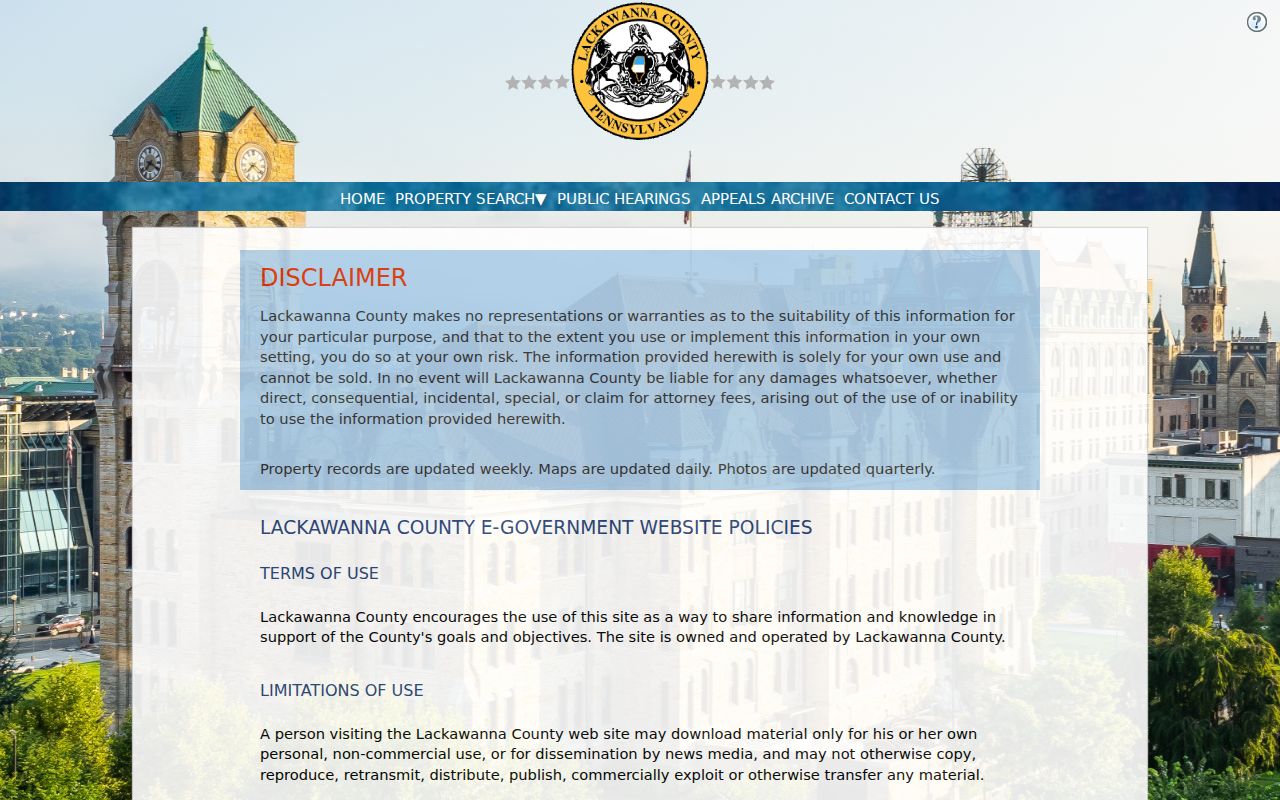
The Basic Search results support Parcel, Owner, Location, and Municipality sorting. No verified Assessment ZIP criterion was observed, so use it after postal verification rather than expecting a County ZIP filter.
Define Scranton ZIP Code Terms
Postal and land-record language marks different parts of an address trail. A clear definition keeps a ZIP result from being overstated as a municipal, title, or residence fact.
- ZIP Code
- A postal routing code used by USPS. It is not a City boundary or a list of people at addresses within the code.
- ZIP+4
- An added four-digit postal routing detail for a more precise delivery segment. Verify it through USPS for the exact address.
- PO Box ZIP
- A postal code used for post-office-box service. Whether a particular Scranton label has this status must be verified live, not assumed from its number.
- Unique ZIP
- A postal designation associated with one organization or site. No unverified Scranton ZIP should be described this way.
- Carrier route
- A delivery grouping used in postal operations. It does not establish City limits, parcel ownership, or a household connection.
- Situs address
- The physical property location in a tax or assessment system, distinct from the owner’s mailing address.
Link Scranton ZIP Code Results to Parcels
A complete address trail uses more than the postal code. First, verify the physical address and ZIP through USPS. Next, use the situs address or PIN in County Tax Online or the Assessment Database. Then read the legal description in a Recorder document when the question concerns the property’s recorded history. A legal description can be a lot, block, subdivision, metes-and-bounds, or another recorded land identifier, and it may be more stable than an old street form.
Lackawanna County GIS services provide parcel geometry, PIN, owner, location, deed, and related metadata through documented layers. Those services support map context rather than a verified consumer ZIP query. City permit and code files supply a separate address-event layer. They may help date a construction or regulatory event, but they do not provide a ZIP-wide resident list.
Read Scranton ZIP Code Geography
The eight mapped zones make the City planning report a useful geographic layer, especially where neighborhoods span familiar local names. The report identifies 18505 and 18504 as its most populous mapped areas, and gives 18505 the detailed South Side Flats, South Side, East Mountain, and Oakmont description. Those findings explain local planning context. They do not define every postal-delivery edge or show who lives in the area.
For an older property question, neighborhood labels can be paired with a parcel, a deed legal description, and historic maps. The Historical Society’s map holdings include Polk street-guide maps from 1935, 1939, and 1954, while documented Library of Congress Sanborn volumes offer building and street context. Maps help reconcile place names and street forms. They do not identify a person at the address.
Respect Scranton ZIP Code Limits
No public individual voter tool or County Assessment filter verified in the research creates a ZIP-wide roster. Utility and delivery customer lists are not public resident directories. A tax owner’s mailing ZIP and a property situs can differ, and neither proves current occupancy. The right record depends on the question: USPS for routing, Assessment and Tax Online for a parcel or bill context, Recorder for recorded title documents, and City Code Enforcement for address-specific municipal files.
Verify Scranton ZIP Code Details
Before relying on a ZIP result, keep the source and date with the record. A City planning map, a USPS address response, a tax mailing field, and a Recorder legal description describe different things. That small discipline prevents a postal label from becoming an unsupported claim about municipal limits or a person’s connection to an address.